Python Maps#
Python Maps provides geo-visualization capabilities when working with GeoJSON data or dataframes containing geographic columns.
Features#
Click to add Geo Visualization when GeoJSON or dataframe with geo columns is displayed
Support for dataframes with Latitude & Longitude columns
GeoPandas integration for advanced geographic data handling
Polygon color customization
Appearance editing through Kepler interface
Examples#
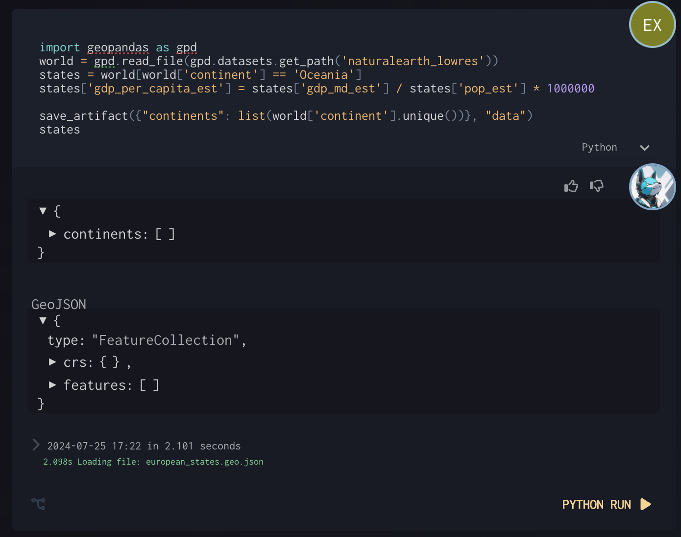
GeoPandas Example#
(continents json output for debug inspection)
Setting polygon color#
Edit appearance in Kepler
Example with two outputs#